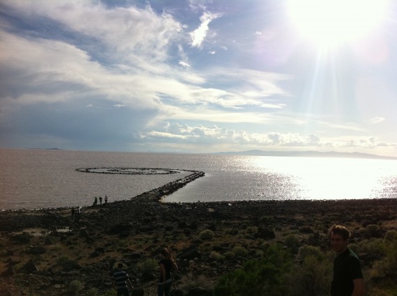
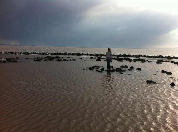
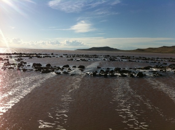
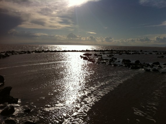
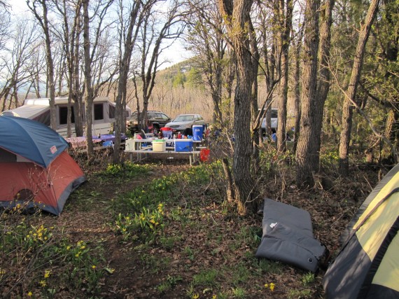
Last November Paul and I visited Spiral Jetty at Rozel Point. Then the Jetty was several hundred feet away from the waters of the Great Salt Lake. Yesterday Paul revisited Spiral Jetty, accompanied by Megan, with Julie and Dan. They found the Jetty almost submerged. Compare the photographs of the Jetty from November of last year with the ones that are published here.
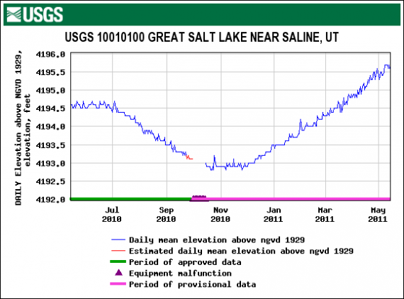
The graph below shows a year of daily readings up until Paul’s visit yesterday. The water level has risen over a foot from the same day last year and nearly three feet from our last visit in November. NGVD 29 is the National Geodetic Vertical Datum of 1929 and is a hybrid model closely representing the mean sea level. Note that the equipment malfunctioned near the low readings and appears to have taken at least two weeks to repair.
The historical average level of Great Salt Lake is 4,200 feet. Spiral Jetty is only visible when the level of Great Salt Lake drops below 4,197.8 feet. The maximum elevation of the lake was 4,211.6 feet, seen in 1986 and 1987. The minimum elevation was in 1963 at 4,191.35 feet.
Great Salt Lake is the largest U.S. lake west of the Mississippi River and the 4th largest terminal lake (no outlet) in the world. It is about 75 miles long and 28 miles wide, and covers 1,700 square miles with a maximum depth of about 35 feet. A remnant of Lake Bonneville, a prehistoric freshwater lake that was 10 times larger than Great Salt Lake. It is typically three to five times saltier than the ocean.
Paul reports that the rough trail to Spiral Jetty has been graded and resurfaced and is now a smooth drive. A parking lot has been built near the Jetty. I suspect that those who do not visit the Spiral Jetty soon will have nothing to see for perhaps another three decades.
Credits
- Photographs: Courtesy Megan Street and her iPhone
- Graph: U.S. Geological Survey
- Hat tip to Paul for the idea of a follow up Spiral Jetty post

